Mines, Maps and eyewitness evidence
These page expands on two events in the 1840s:
- the start of the Ordnance Survey map series - some of the early town maps are at a seriously large scale
- the commissions led by Lord Shaftesbury, whose job was to gather evidence on the actual effect of work on children
This link takes you straight to the 1840s 6-inch map, showing Radcliffe. Work from the bottom right - sorry, south-east corner of the map, along the canal, and you'll find coal pits galore http://maps.nls.uk/view/102344024
This link gives a summary of the pits in the area after 1850 - bear in mind coal's been gathered and used since the 1200s, so this is by no means a definitive list. Many early pits are still unrecorded, so watch your step in them there hills: https://en.wikipedia.org/wiki/List_of_collieries_in_Lancashire_since_1854#Bury
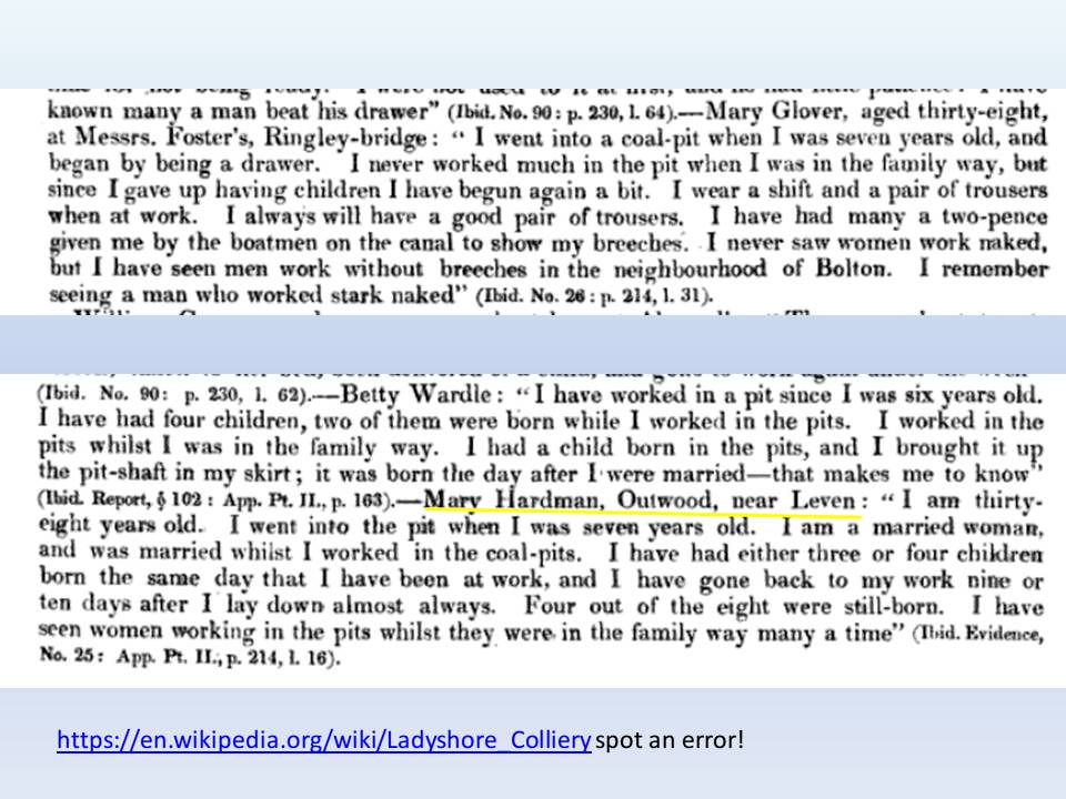
The biggest coal mine in the area seems to have been at Ladyshore, owned if I may say so by the biggest set of barstewards in the area (my own opinion). The Fletchers infiltrated every level of public life, defied legislation and even defied the courts. Ah, the good old days. https://en.wikipedia.org/wiki/Ladyshore_Colliery
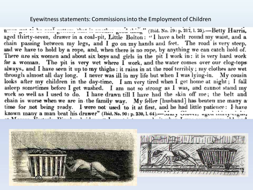
For the text of the Commission into the Employment of Children in Mines, try Mines Commission evidence: https://play.google.com/books/reader?id=WnFbAAAAQAAJ&printsec=frontcover&output=reader&hl=en
The volumes can be difficult to search, either in print or online, so I've printed out extracts here that pertain to mines in the Bury-Bolton area
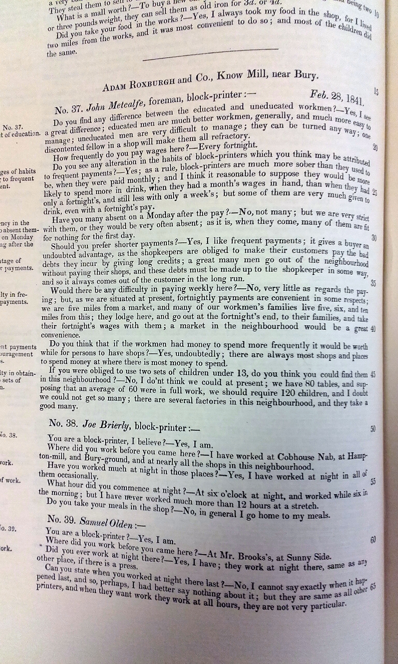
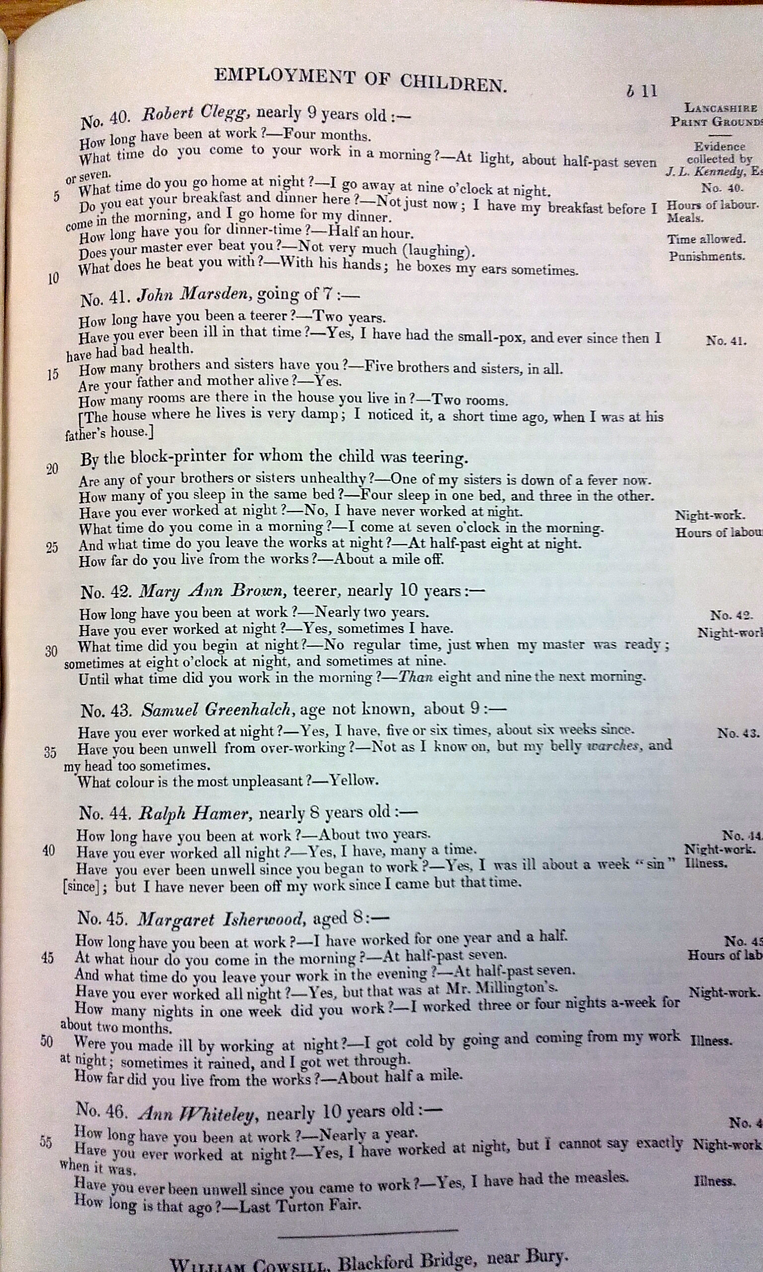
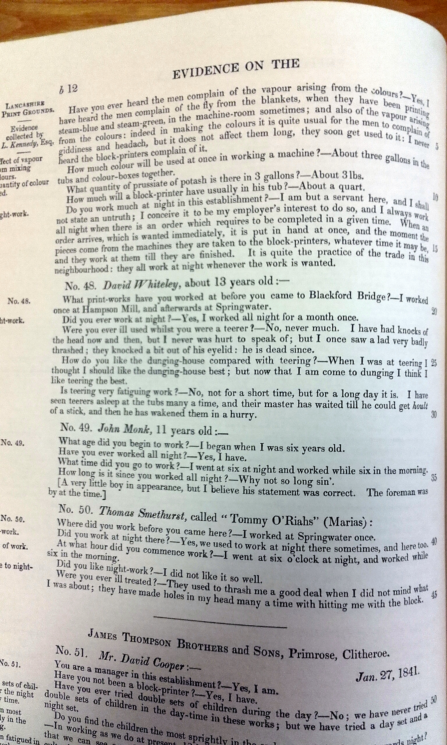
The volume on the calico printing industry is available at Lancashire Archives in Preston. I've picked out three pages that refer to evidence gathered in the Bury area:
Page 1: 'Know Mill' and Hampson's Mill
Page 1: 'Know Mill' and Hampson's Mill
